


Best Parks in Dallas, Texas. There are all kinds of parks in the Dallas area that offer hiking trails, biking, birding, picnics and more.
1. Cedar Ridge Preserve – 10 miles of trails including ponds. Here is the trail map. Managed by the Dallas Audubon. 600 acres. Limited picnic areas. No biking.
2. Leonhardt Lagoon Nature Walk at Fair Park – The Lagoon is between the Perot Museum of Nature and Science at Fair Park and the Cotton Bowl. Lots of landscaping, sculpture in water and you can rent swan boats. It is a general use area.
3. Arbor Hills Nature Preserve – Midway and Parker Roads, West Plano – 3 miles of trails but nice. – Map
4. Bob Woodruff Park – 2601 San Gabriel Drive, Plano – Map – Trail is 4.4 miles one way.
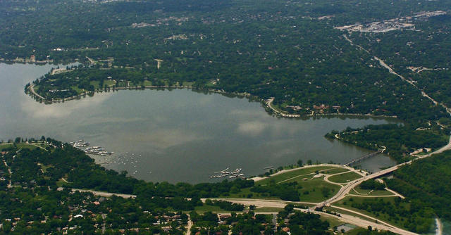
5. Breckengridge Park – 3555 Park Vista Road, Richardson. 3.27 miles. Map
6. Cedar Hill State Park – Cedar Hill, TX – 10 miles from Dallas – 1826 acres. Description of trails. Description of the 500 species of birds in the region of Cedar Hill State Park.
7. Connemara Conservancy – Meadow Nature Preserve is not open except for events unless you are a member. Here’s more info.
8. Ft. Worth Nature Center & Refuge – Over 25 miles of hiking trails through prairies, forests and marshes. Map
9. Hagerman National Wildlife Area – hosts up to 30,000 migratory birds – 4-mile auto tour along the lake shoreline. Map
10. Hoblitzelle Park Pavillion – 2 miles one way – Map
11. LBJ Caddo National Grasslands – two maps – Bois d’Arc Unit – Map
12. Plano Outdoor Learning Center – 3100 Shiloh Road, Plano
13. Prairie Creek Park – Richardson – small neighborhood park
14. River Legacy Park – follows the curves of the Trinity River – 1300 acres – 8 miles of paved hike trails – 703 N.W. Green Oaks Blvd (at Cooper Street) – Arlington. Map
15. Spring Creek Forest Preserve – 1770 Holford Road, Garland, TX. 1.8 mile trail. Map
16. Spring Creek Natural Area – 4.5 miles of heavily wooded, winding, looping trail at the SE corner of Central Expressway and Renner Road. Map – It’s in Richardson.
17. White Rock Lake – Sunset Bay – 810 E. Lawther Drive, Dallas – in the heart of the city. 17.1 miles of trails. Map
Other trails….
| Trail Name | City | Length (miles) |
Review | Trail Maps | Pics |
|---|---|---|---|---|---|
| Arbor Hills | Plano | 3.25 | Review | map | pics |
| Oak Point Preserve | Plano | 7.05 | NA | map | |
| Elm Fork Preserve | Carrollton | 1.00 | Review | map | pics |
| Heard Museum | McKinney | 6.25 | NA | map | |
| Cedar Ridge | Cedar Hill | 6.90 | Review | map | pics |
| North Shore Trail | Grapevine | 9.00 | NA | map | |
| Knob Hill Trail | Grapevine | 4.00 | NA | map | |
| Dinosaur Valley | Glen Rose | 12.0 | NA | map | |
| Cedar Hill State Park | Cedar Hill | 14.8 | Review | map | pics |
| Ray Roberts Greenbelt | Pilot Point | 10.0 | NA | map | |
| Cleburne State Park | Cleburne | 5.50 | NA | map | |
| Spring Creek Preserve | Garland | 2.00 | NA | map | |
| LB Houston | Dallas | 7.05 | NA | map | |
| Eisenhower State Park | Denison | 4.50 | NA | map | |
| Cross Timbers Trail | Whitesboro | 14.0 | NA | map | |
| LLELA | Lewisville | 4.0 | NA | map | |
| Marion Sansom Park | Fort Worth | 7.0 | NA | map | pics |